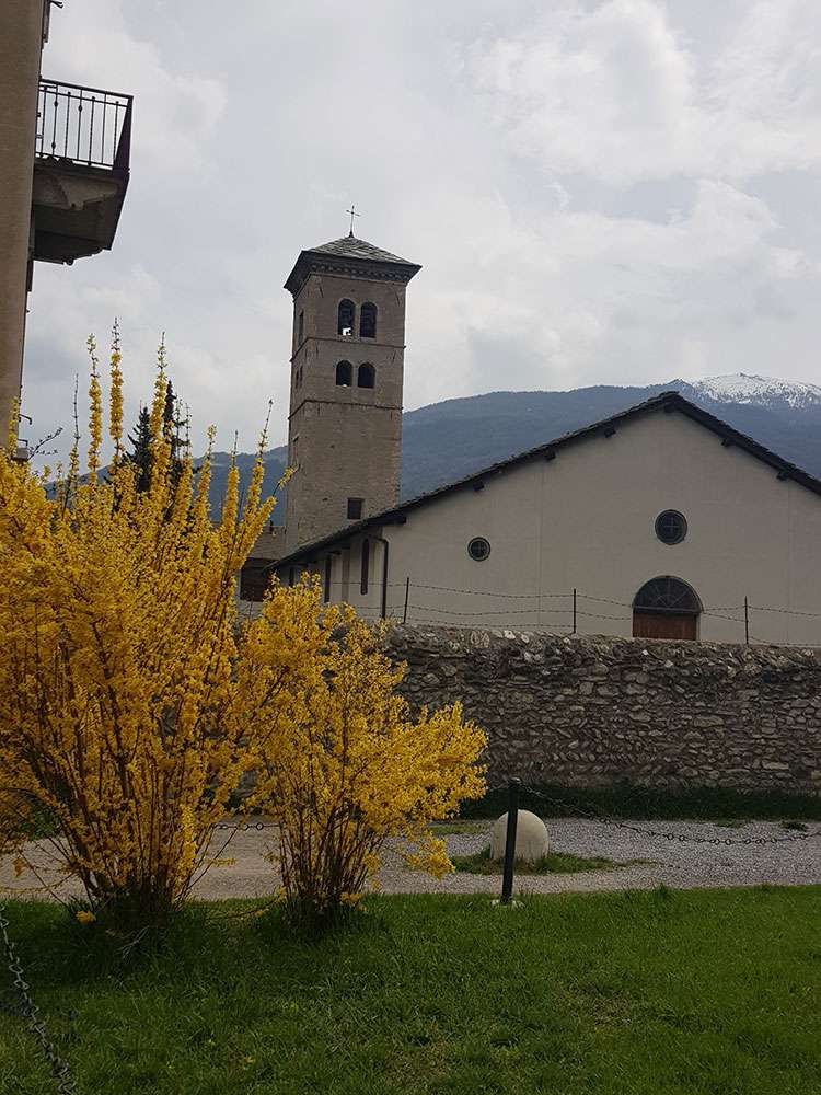
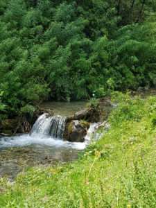
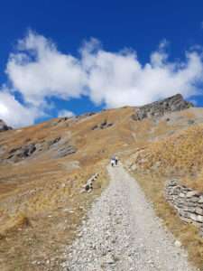
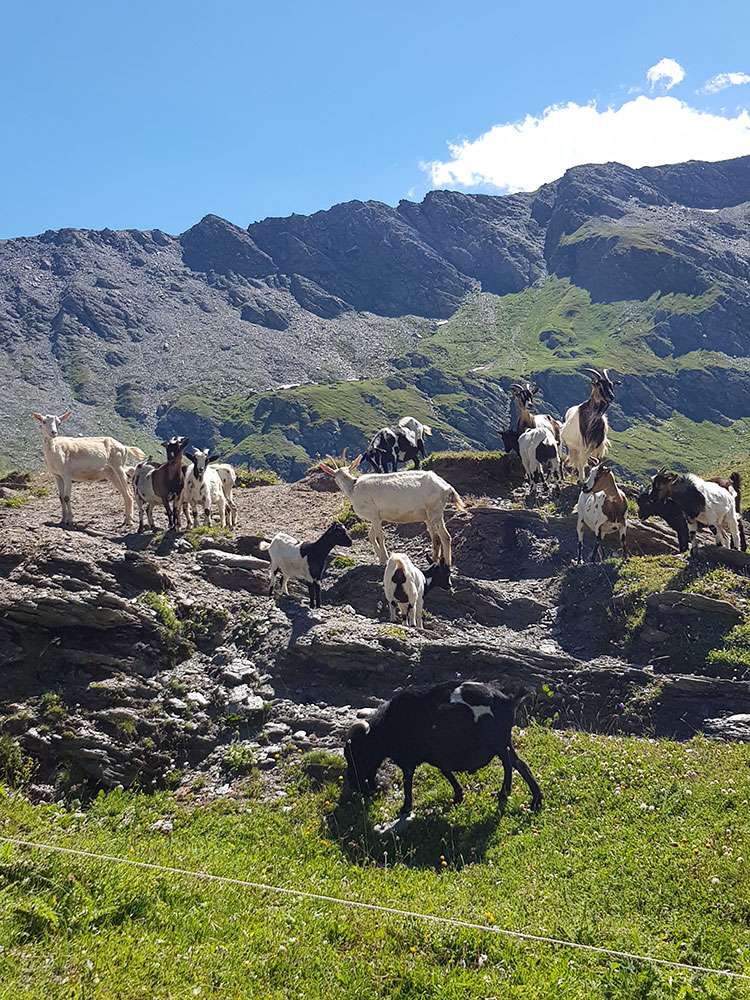
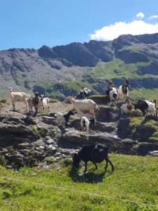
We love walking in the mountains, discovering new places and hidden corners, admiring the colors of this land and immersing ourselves in the sounds of nature. And with the secret desire to meet and see all the animals that live in our woods.
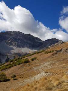
itineraries, rich in history and nature, for all tastes and levels of difficulty. You can choose between quiet and relaxing walks, excursions in search of uncontaminated landscapes and small adventures, but also challenging crossings and breathtaking treks.
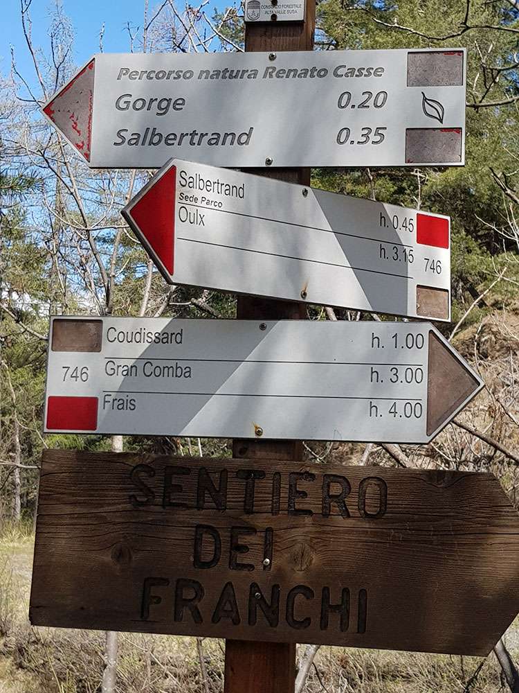
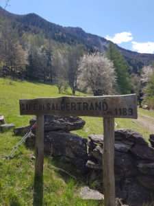
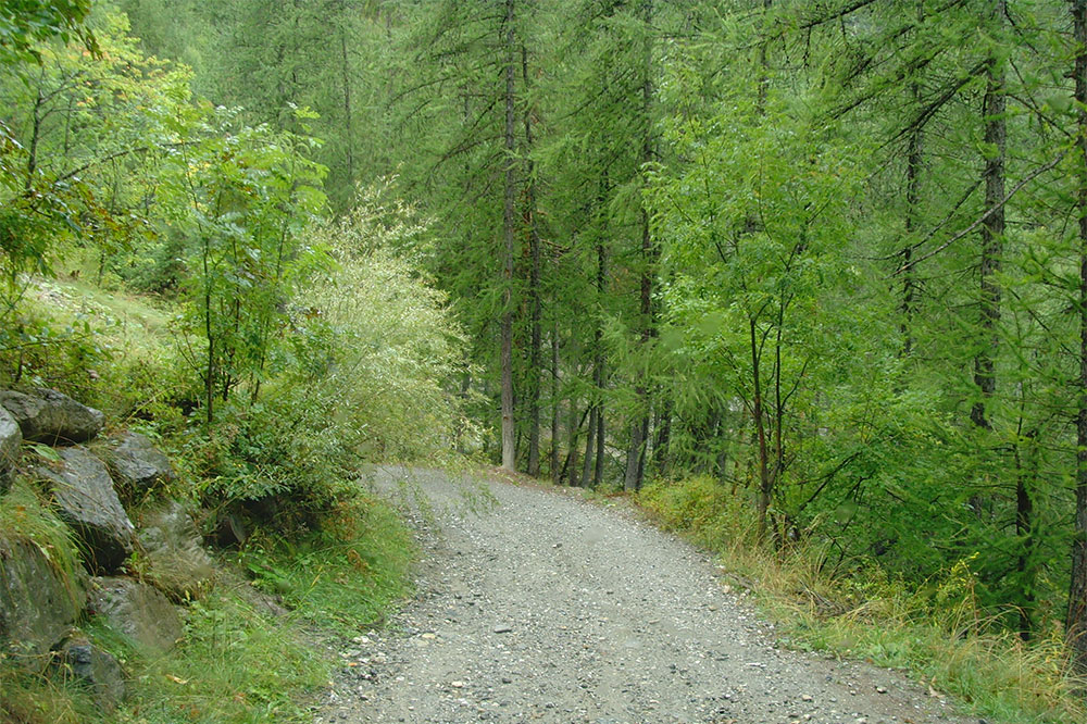
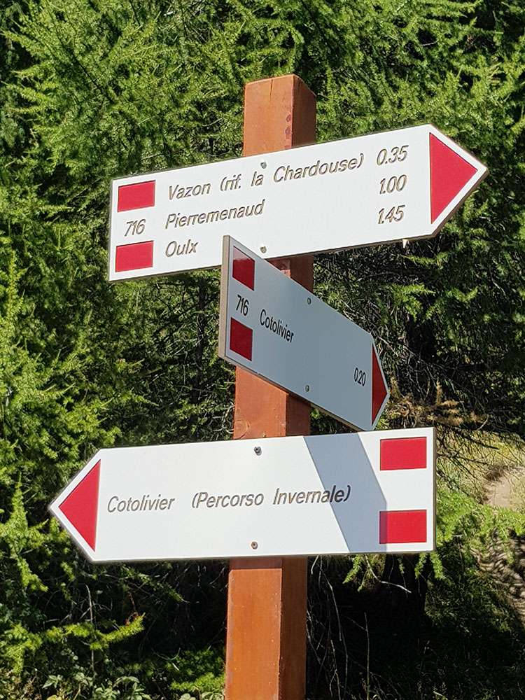
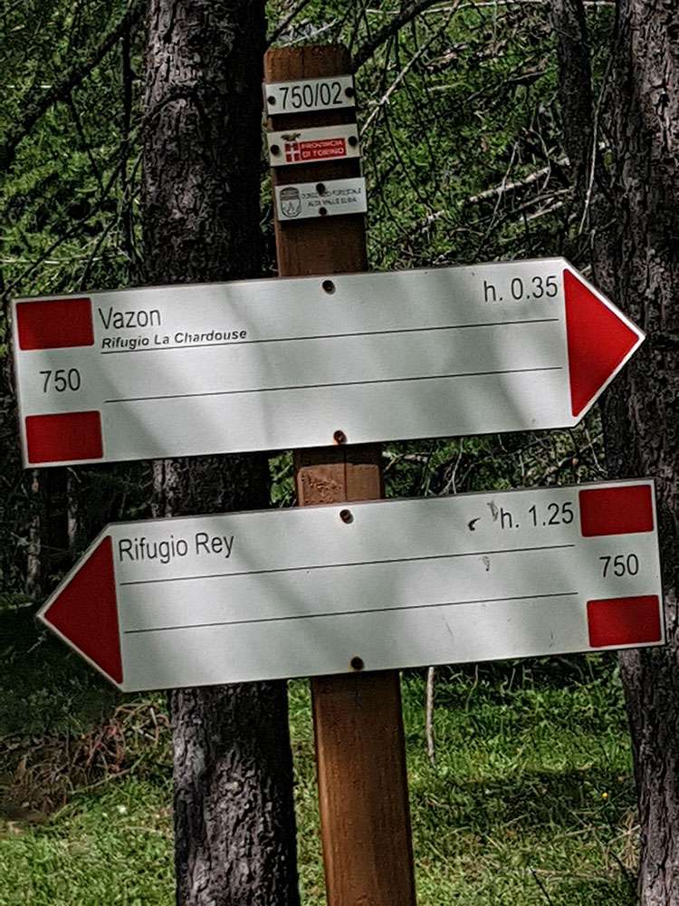
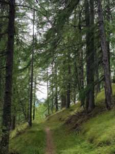
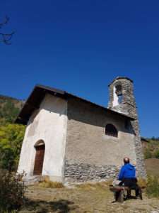
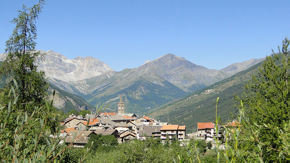
Start with the Cotolivier, with the hike that goes up to the Vazon mountain hut. You can as well continue to Croce di San Giuseppe. But you can’t miss the trek Giro delle Borgate. The park Gran Bosco di Salbertrand offers interesting itineraries and walks, such as from Monfol to Seu and Sentiero dei Franchi, locally called Viò du Sarazin (Path of Saracens), which runs from Oulx to Salbertrand, along Via Francigena (that goes up the Valle di Susa to Monginevro along some of the itineraries of medieval pilgrims, going down towards Rome).
The Oulx-Beaulard crossing up to Sentiero Balcone and from Beaulard to Puy, a path that winds through forests of Scots pine and spruce, up to the last houses of the hamlet of Puy, which deserves a stop to admire the traditional architecture, which is still intact today. And if you are interested in history, along the paths that take you from Vilaretto to Savoulx and Beaulard, you will recognize the scenarios where partisans found shelter. Here, in fact, there was one of their hiding places. However, the exact location is still a secret that the inhabitants of Oulx guard and conceal jealously.
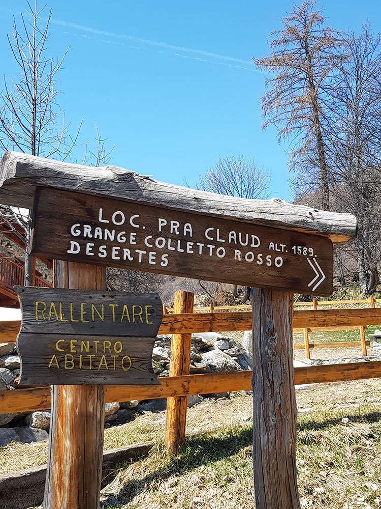
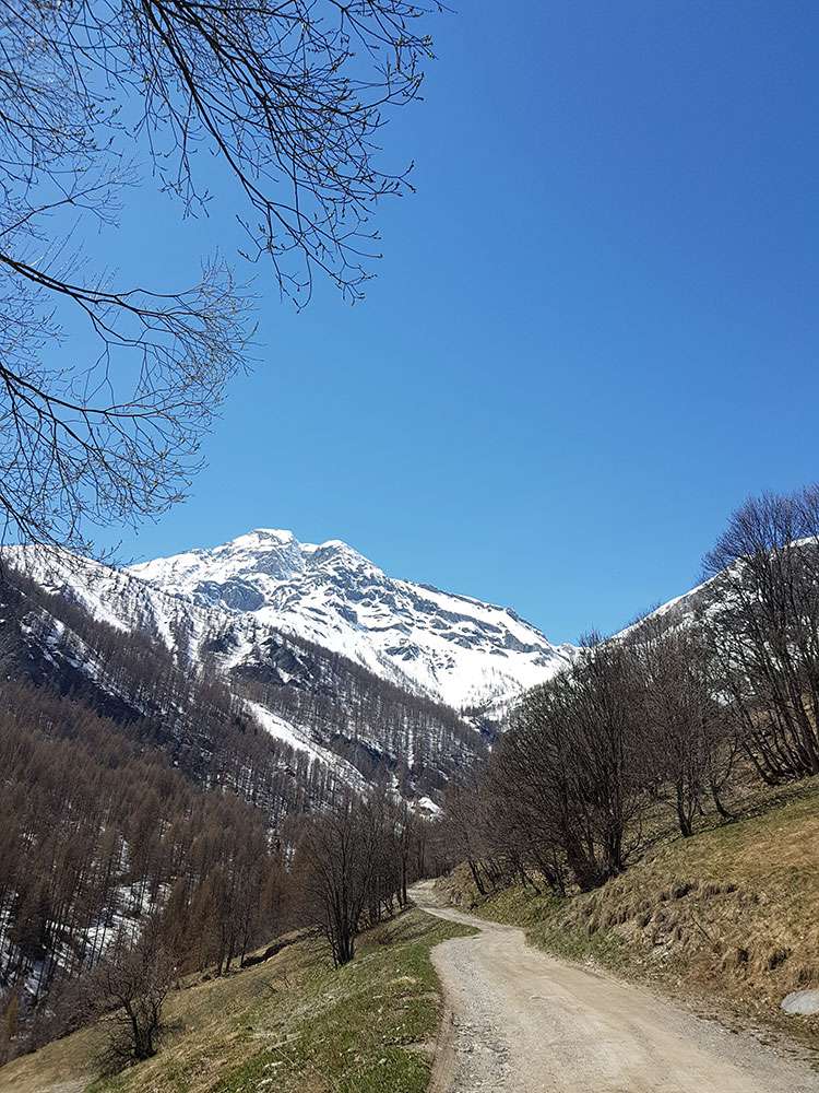
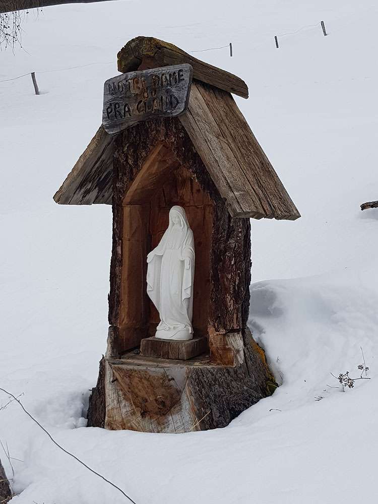
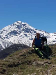
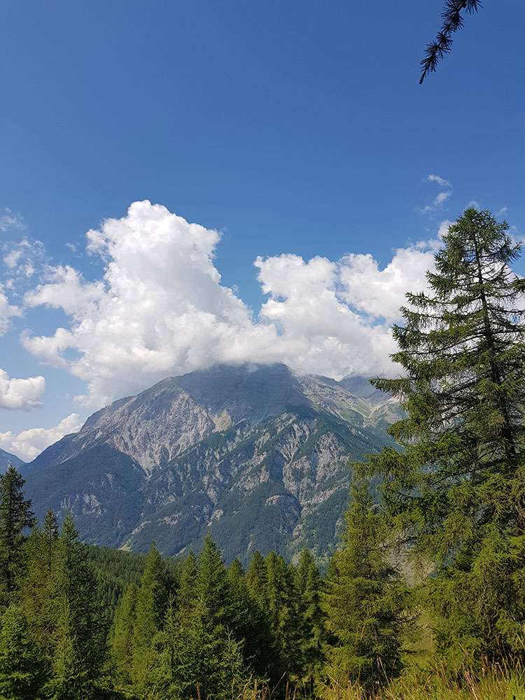
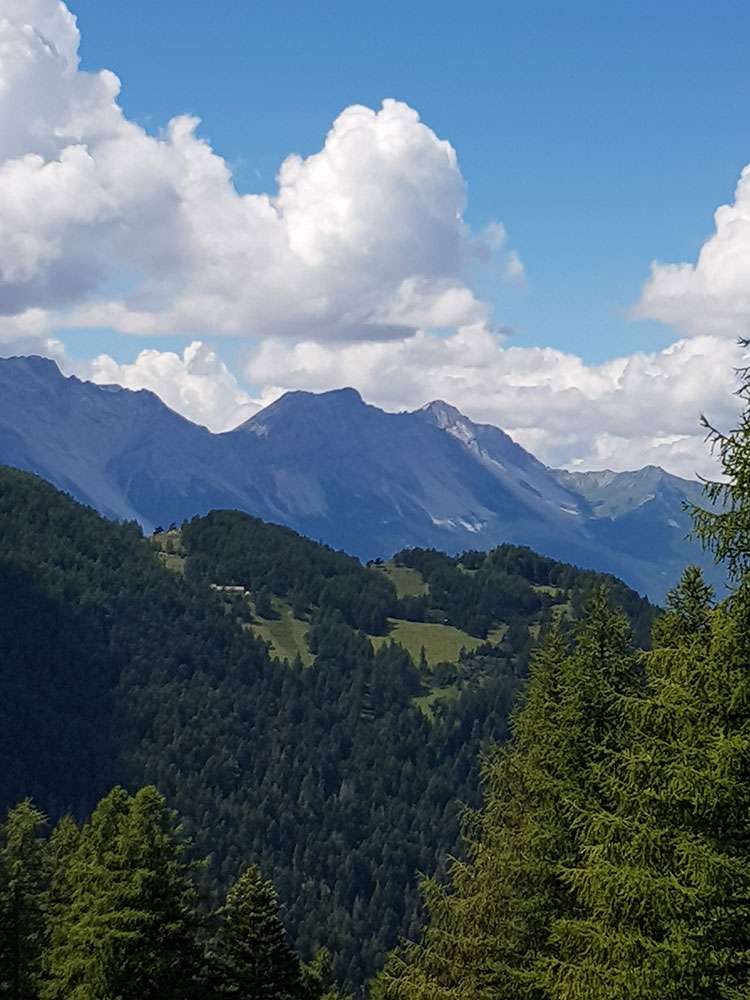
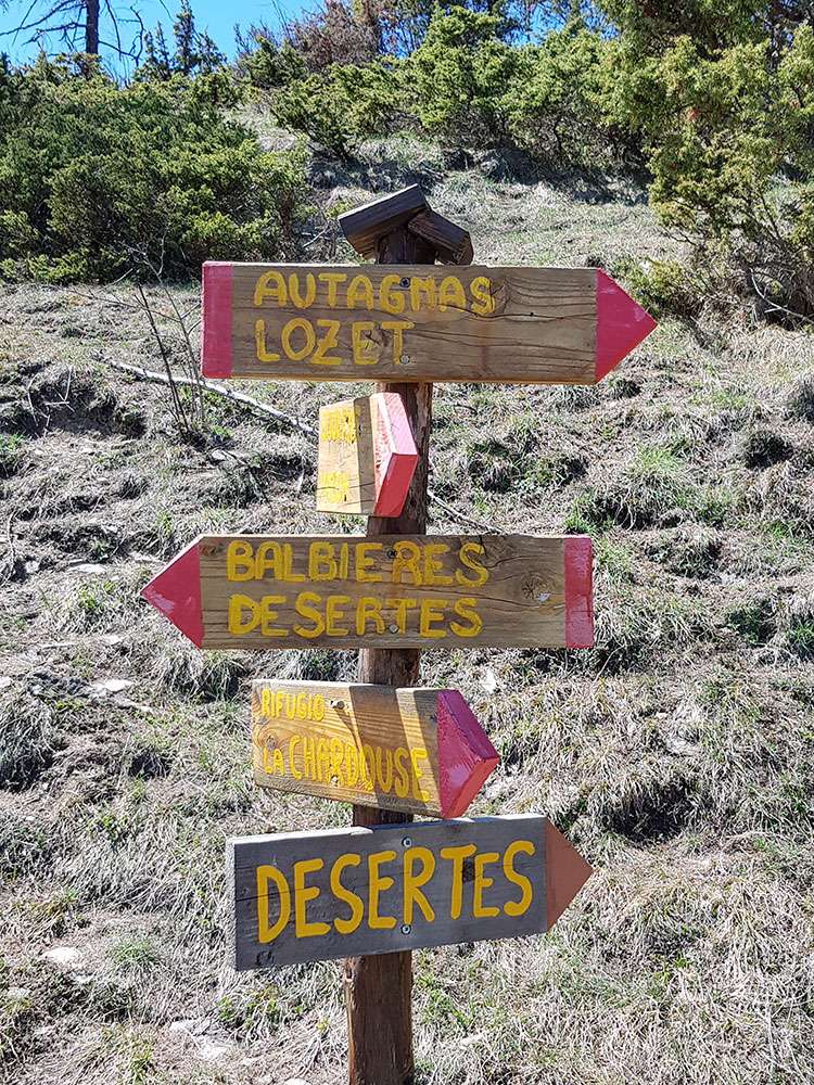
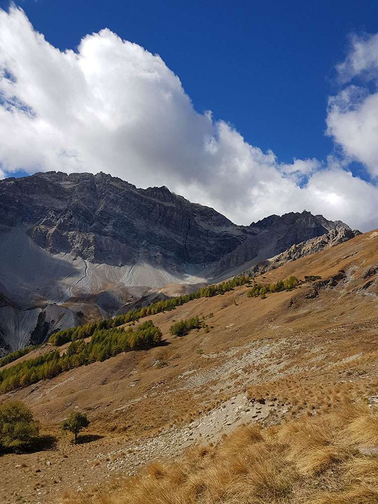
An interesting route reaches the Desertes Pass (2553 m). In anciant times, this was the smugglers’ way directed to France. You will find testimony in the remains of the Border Guard barrack, which marks the state border. From this timeless place, you will have a beautiful view, looking west, over the lunar landscape of the high valley of Plampinet (France). But that's not all! Getting to the Grand Hoche Pass (2477 m) and reaching its summit (2760 m) is an excellent excursion, which ends with the sight of a marvellous panorama over the peaks of the upper Valle di Susa, of the Vanoise and the Dauphiné.
From here, continuing just below the ridge on the French side, you will soon reach Punta Arbor (2803 m).
We suggest
Fenils - Colletto Grigio - Colletto Rosso | Difficulty: T
Difficulty: T (Low)
Difference in height: 350 m
Drive towards Cesana up to Fenils. You can park in the lower part of the village. Take the dirt road to the right with the indication Colletto Grigio. Climb up a wide dirt road with wide hairpin bends to reach Colletto Grigio. Once at the top, you will change the slope and through a thick and beautiful larch forest continue uphill to the Colletto Rosso, at an altitude of 1,600 meters. From here you reach the chalets of the Colletto Rosso and begin the descent to Fenils.
Oulx – Villaretto | Difficulty: T
Difficulty: T (Low)
Difference in height: 220 m
Time: 1h 45 min
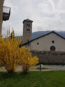
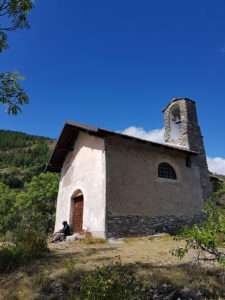
Go up from Oulx towards Cotolivier. Leave the houses at one kilometer, you will find signs for Villaretto, with its chapel dedicated to San Giovanni. Continue to a fork, where there is a monumental tree. Continue to the left through the forest, and uphill until you reach a carriage road. Continue to a fountain-washhouse.
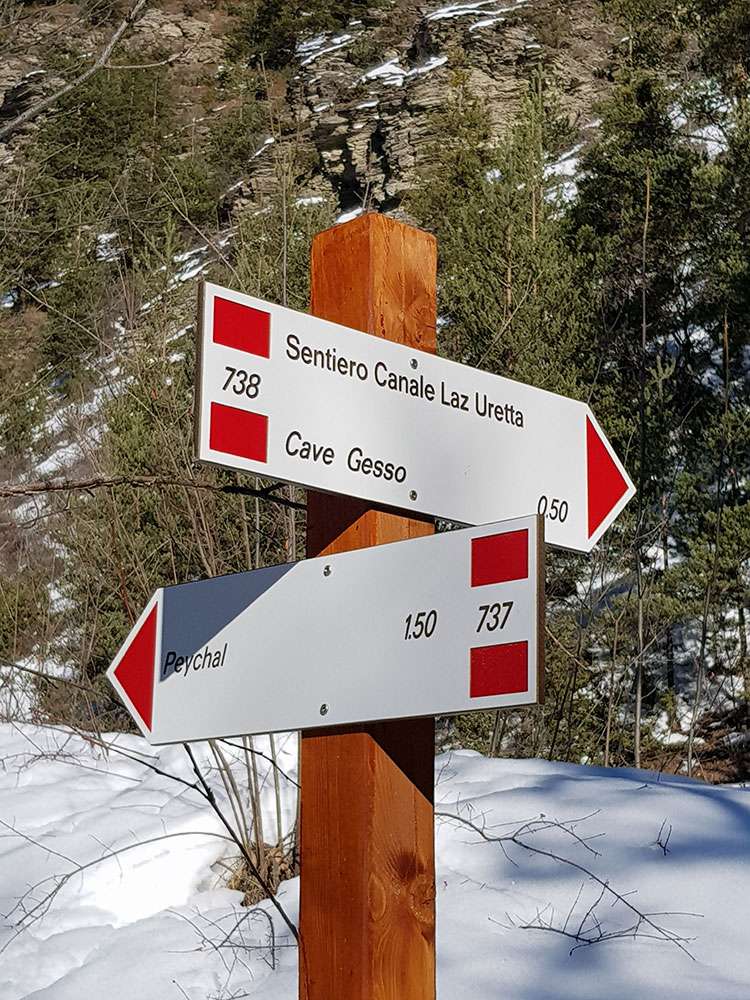
Signols - Cave del Gesso | Difficulty: T
Difficulty: T (Low)
Difference in height: 360 m
Time: 2h 30 min
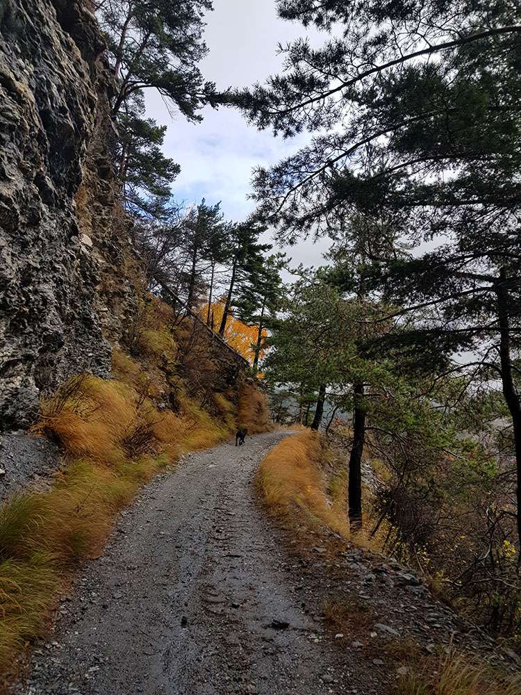
Take the road to Bardonecchia, after the sign for Signols, turn right onto the first road, on the opposite side of Casa Alpina Don Macario, and park there. The itinerary passes through the Site of Community Interest called " Oasi Xerotermica di Oulx-Auberge ", which is characterized by the predominance of calcareous rocks that used to have great importance in the exploitation of the resources of the territory and still conserve a certain relevance from the mineralogical point of view.
Follow the dirt road and take the Les Ourettas path. After about an hour of climbing (around 1390 m.a.s.l.) you will reach the mining site, which had been exploited since 1881 to the early sixties. The quarries, both open-air and in tunnels, scattered along the two kilometers of strand, were served by carts on tracks that flowed to a system with cableways carrying raw materials to the processing and storage area downstream. Today, thanks to the intervention of recovery and valorization, you can visit an important site of industrial archeology where you find a pleasant path accompanied by descriptive notice boards, the remains of two cableways, sections of narrow-gauge tracks, a two-axled wagon tipper, a bucket, some axles and a tiny manual turntable. All of this shows you how the site used to work.
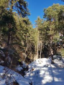
Sentiero dei Franchi - Parco Naturale del Grand Bosco | Difficulty: T
Difficulty: T (Low)
Difference in height: 140 m
Time: 2h
Starting from Oulx reach the hamlet Gad. The path follows the Via Francigena (which goes up the Valle di Susa to Monginevro along some of the routes of medieval pilgrims), crossing the lower part of the Regional Natural Park of Gran Bosco of Salbertrand. Going uphill from Gad, you can walk about 1.3 km of unpaved road and then a mule track before crossing the border tables of Gran Bosco di Salbertrand Natural Park (1050 m.a.s.l.) near Rio Gran Comba. The trail climbs halfway up the pine forest, keeping the Dora Riparia and the Pont Ventoux lake to the left and heads towards Salbertrand. You will be able to see the remains of the kilns for cooking lime and the ecomuseum sites of the charcoal kilns and the nineteenth-century ice-house with its supply lake. The path Sentiero dei Franchi continues towards Sapè and Frais before leaving the Natural Park. The train station in Salbertrand allows you to take a train to easily return to Oulx, if you do not want to retrace the itinerary backwards.
Château Beaulard - Rifugio Guido Rey | Difficulty: E
Difficulty: E (Medium-Low)
Difference in height: 390 m
Time: 2h 45 min
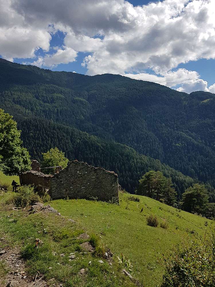
Reach Beaulard, a panoramic fraction of Oulx, and park there. Continue to the beautiful hamlet Château Beaulard. Pass it and continue along a marked road that climbs steeply into the woods, passing in front of the ruined houses of Pra du Bois. The well indicated path continues up to the hut Rifugio Guido Rey. It is a beautiful excursion which allows you to admire the massive sides of the Grand’Hoche and the Guglia d’Arbour.
Pourachet (2048 m) - Croce di San Giuseppe (2394 m) | Difficulty: E
Difficulty: E (Medium- Low)
Difference in height: 390 m
Time: 2h 30 min
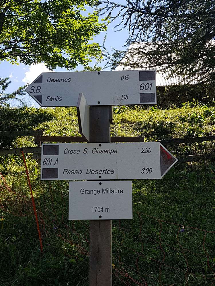
Drive up from Oulx along the Cotolivier road on a 6 km paved road to Vazon. Drive 4 km more on a dirt road to the sign Cappela Madonna del Cotolivier junction. Park here and continue on foot along a carriage road that goes towards Pourachet. Going straight on you come to a fork that leads to the Colle di Deserte on the lefts, and towards the Cross of San Giuseppe on the right. From the crossroads a path starts, whichi goes up to the crest of the Cross of San Giuseppe in just over half an hour.
Il Giro delle Borgate | Difficulty: E
Difficulty: E (Medium)
Difference in height: 585 m
Time: 4h 50 min
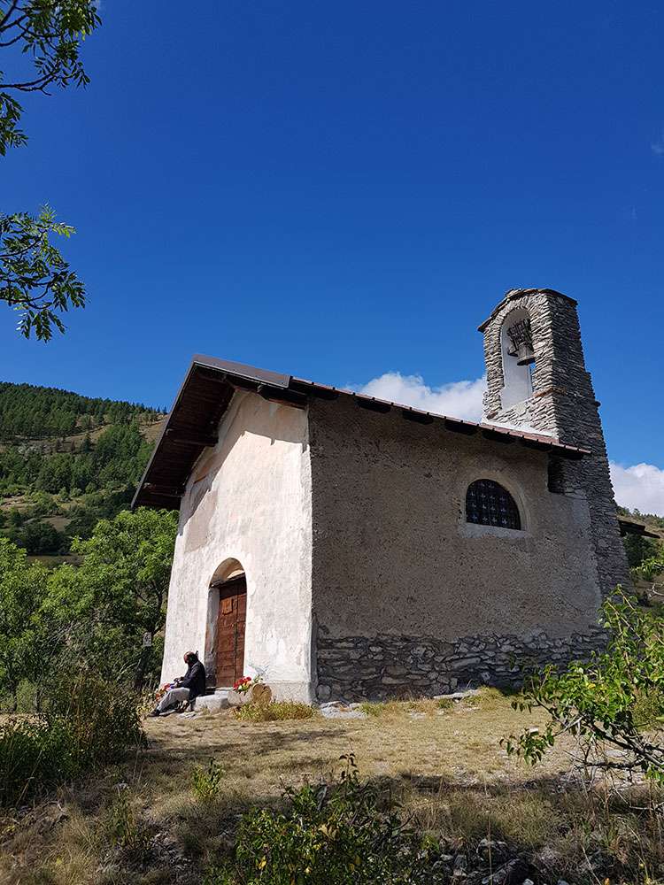
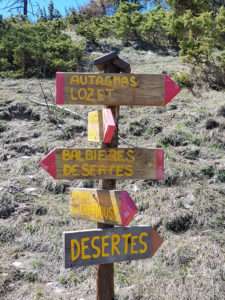
Drive from Oulx towards the Cotolivier, untill the hamlet of Pierre Menaud, and park there. Go along the dirt road towards Soubras (about 2.5 km). Before entering the town you will find the chapel of San Barnaba, which offers a beautiful view on the valley. Crossing the hamlet, there is a beautiful octagonal fountain and you can go down the road that leads to Amazas, passing through typical huts. Then continue up to Balbière and you will reach Autagnas, a village composed of almost all crumbling huts and a small church. Continue for a good stretch to Millaures, where path n.536 leads you to Plan de Selle. At this point, turn in the direction of the Cross of San Giuseppe and, going along a dirt road, reach the chapel dedicated to Notre Dame de la Lumière. Here an easy descend begins, leading to the hamlet of Vazon, a beautiful village, and then to Pierre Menaud.
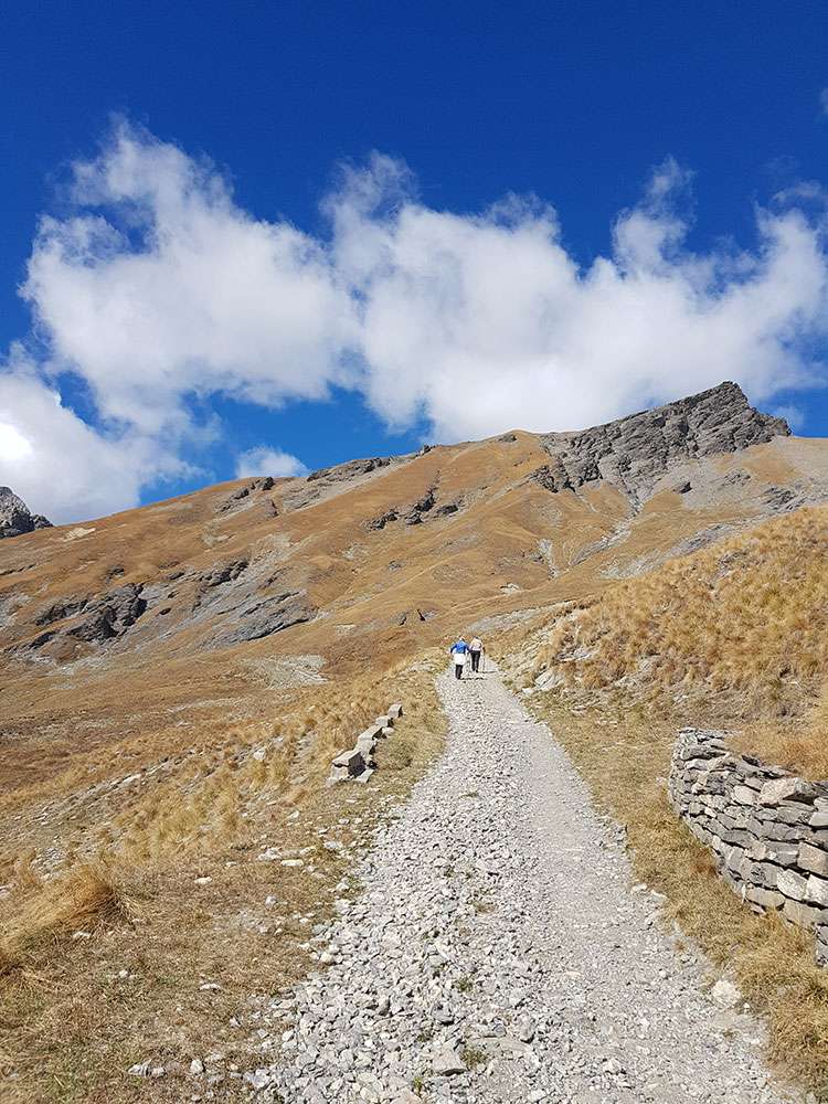
Passo di Desertes (2550 m) | Difficulty: E
Difficulty: E (Medium)
Difference in height: 500 m
Time: 3h
There are two ways to get to Passo di Desertes. The first one starts from the road towards Cesana, where you can take the road to the Desertes village. Once you get there, you need to leave the car and continue on the Sella Plan to the Pass. The second option is to drive 6 km along the Cotolivier road on a paved road up to Vazon. Continue to the junction to Cappella Madonna del Cotolivier. Leave the car and continue on foot along a road that leads to the Pourachet. Going straight on you come to a fork that leads to Colle di Desertes. From there you will appreciate the rocky and sober, but also fortified, landscape, where you can find several small military barracks. Arrive to the Rocchette Refuge and then keep going up a zig-zag path in a large stony area that takes you to the pass in about an hour. The Desertes Pass was a historic path between France and Italy, also used by smugglers.
Château Beaulard - Passo dell’Orso - Grand’Hoche - Guglia d’Arbour | Difficulty: EE
Difficulty: EE (Expert)
Difference in height: 1400 m
Time: 3h
It is a long but pleasant hike up to one of the most famous peaks of the upper Valle di Susa. The excursion is not recommended in case of poor visibility or snow. Firt of all, it is necessary to reach the hamlet of Chateau Beaulard and park in the square below the village. From there follow the signs to Rifugio Guido Rey and the Punta Grand Hoche. The steep path, winding through the conifer woods, leads to the mountain hut. From here, follow the old abandoned ski slope, heading south, having as a reference the summit of Guglia d’Arbour and the base of the massif. Once you intercept the upgoing path from Beaulard, which is well marked (signpost n. 702), continue along this path to the left, in east direction, crossing the entire slope of the massif to the base of the spur of Rocher de la Garde. The path then steeply climbs up to an altitude of 2400 m, where it cuts off the offshoots of the Clotesse in a westerly direction until it reaches Grand Hoche Pass (2477 m.a.s.l.) and the nearby Passo dell'Orso bivouac. In this last section, you should pay particular attention to the presence of particularly exposed and unsteady stones. Finally, from Grand Hoche Pass, climb the east side of the mountain following the trail until you reach the summit (2760 m.a.s.l.), from which you will enjoy an excellent view of the peaks of the upper Valle di Susa and of the French side. From here, continuing just below the ridge on the French side, you reach Punta Arbor (2803 m).